
DRONE MISSIONS & TERRAIN PLANNING
Flayplan.
Know the ground.
Plan the flight.
THE PROJECT
A clearer plan.
A new perspective.
Turn a place on the map into a mission you can see.
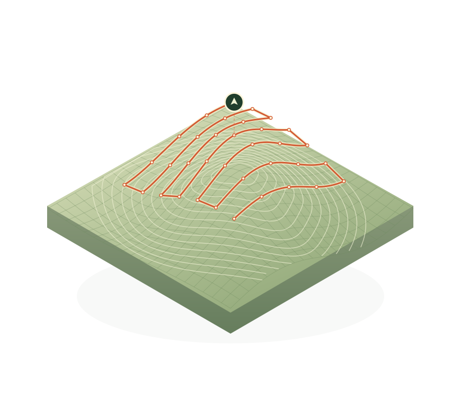
Flayplan is a drone mission planning platform in progress. It brings route design, 3D terrain previews, and planned camera perspectives into a connected web workspace, with mission transfers to an Android field library.
Its mission library spans mapping, linear surveys, facades, inspections, orbits, panoramas, and waypoint routes. The focus is on understanding the terrain and shaping the mission before taking it into the field.
Visit FlayplanDESK TO FIELD
Shape the mission
Choose the site and mission type, then define the route and camera settings.
Check the perspective
Explore the route in 3D terrain and review planned photography positions.
Take it to Android
Transfer a saved mission to the field library and bring device edits back when connected.
In progress / early access. Aircraft compatibility, DJI registration, and testing requirements apply. See Flayplan for current details.
YOUR NEXT CHAPTER
Something ambitious
on your mind?
Bring us the idea, the messy workflow, or the challenge.
We will help you find the right way forward.